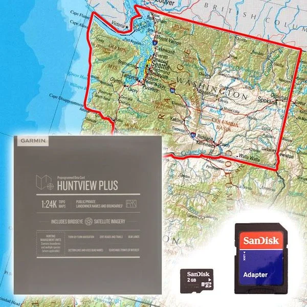
Featuring exclusive BirdsEye Satellite imagery and 1:24K scale TOPO Mapping, these preloaded microSD cards offer a seamless hunting map solution for Garmen handheld GPS devices. Map data is collected from multiple sources, providing full state-by-state coverage with routable road and trail data. public/private land types and boudaries. BLM, national Wildlife refuges, National Parks, WPA/WMA , food/fuel locations and more. Included BaseCamp software lets you interface your computer with your handheld device to plan your hunt.
- Birds eye Satellite Imagary
- Full State Coverage .
- Includes searchable points of interest, parks, summits, etc .

